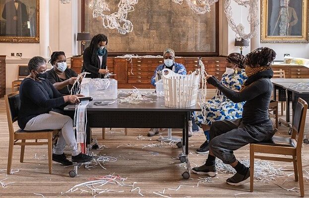
The decolonising of cartography has been going on since the 1970’s but it took the Black Lives Matter movement to highlight the contribution that counter mappers within BAME communities have made to this process.
In this webinar we will explore that history and also the work of contemporary artists who are re-imagining maps from a black perspective:
Counter Mapping White Supremacy in the Deep US South: the work of the Student Non-Violent Coordinating Committee – Joshua Inwood, Derek H. Aldermana & Ethan Bottone
In the early 1960s the Student Non-Violent Coordinating Committee (SNCC), with the encouragement of James Forman, formed a research department to provide activists in Georgia, Mississippi and Alabama with information, resources, and strategically collected and analysed data to facilitate their anti-racist organising.
We use a pamphlet produced during this period to highlight the civil rights organisation’s largely unrecognised geospatial work and specifically its counter-mapping of the power structures undergirding white supremacy. SNCC opens up a space for considering the broader use of geographic knowledge production and critical cartographies as tools of activism against inequality and as radical and left political praxis. Importantly, SNCC’s deployment of maps and data activism provokes a consideration of how Black geographies, in the past and now, expands what counts as map, who is a map-maker, and the social work that maps can and should do, especially when considering how cartography has long been a tool of racial subjugation, settler colonialism, and capitalist exploitation.
Joshua Inwood is a Professor of Geography and a Senior Research Scientist at the Rock Ethics Institute at the Pennsylvania State University. His work seeks to understand the social, political and economic structures that make human lives vulnerable to all manner of exploitations, as well as how oppressed populations use social justice movements to change their material conditions. Currently, he is co-PI (w/ Derek Alderman) on an NSF funded grant (April 2017-May 2020, $375,000) that is exploring the use of geospatial intelligence by civil rights organisations. This research investigates how Civil Rights organisations used geospatial data techniques to calculate, map, and analyse the spatial and social dimensions of segregation in the US South during the US civil rights struggle.
Derek H. Alderman is a Professor of Geography at the University of Tennessee, where he teaches and conducts research in the areas of critical cartography and place name studies, race, social justice, and geographies of public memory and heritage tourism—often in the context of the African American Freedom struggle. He is the (co)author of over 150 articles, book chapters, and other essays and an advocate for public-facing scholarship and media engagement, having been interviewed or quoted almost 300 times in (inter)national, regional, and local news outlets. The National Science Foundation and the National Endowment of the Humanities have funded his scholarship. Dr. Alderman is a past President of the American Association of Geographers.
Ethan Bottone is an Assistant Professor of Geography in the Department of Humanities & Social Sciences at Northwest Missouri State University. His research focuses on critical aspects of mobility and tourism, with particular emphasis on the experiences of people of colour and people with disabilities. His dissertation explored black mobility and counter-mapping through the Green Book, a Jim Crow Era travel guide developed and used by Black Americans. He has recently published papers in the Journal of Sustainable Tourism and Tourism Geographies, and currently serves as a board member for the International Society for Landscape, Place, and Material Culture (ISLPMC).
More Online Events Listings MORE
Black History: Tracing Caribbean Ancestry Back to the 1880s
Many Caribbean family histories can be traced back to the 1880s. Discover why this milestone reveals more than…
Caribbean Family History: African & Scottish Ancestry in the Caribbean
Why do Scottish surnames appear so frequently in Caribbean family histories, and what can they reveal about ancestry?…
Black History and Caribbean Ancestry: Who Do You Think You Are?
Paul Crooks presents a masterclass examining a documented Caribbean ancestry journey from Britain to West Africa through Black…
Black History and Ancestry: Economic Forces Behind Emancipation
How did the economic forces behind emancipation shape Black history, and what can they reveal about the lives…
African-Irish Ancestry in the Caribbean: What Records and DNA Reveal
Why do so many African-Caribbean families have Irish surnames? Explore what ancestry, identity and family history reveal. …
Black History: Caribbean Ancestry Records Tell You More Than You Think
Most family history clues are hiding in plain sight. Discover how records, maps and Black history reveal more…